How to Guide: Is my land classified as 'Highly Productive Land'?
A desktop guide in the Auckland context. Brought to you by CoLab Planning
Unitary Plan Operative in part
1. Navigate to: https://unitaryplanmaps.aucklandcouncil.govt.nz/upviewer/
2. When the Unitary Plan maps have loaded - navigate to the 'Legend' Tab on the left side of the screen.
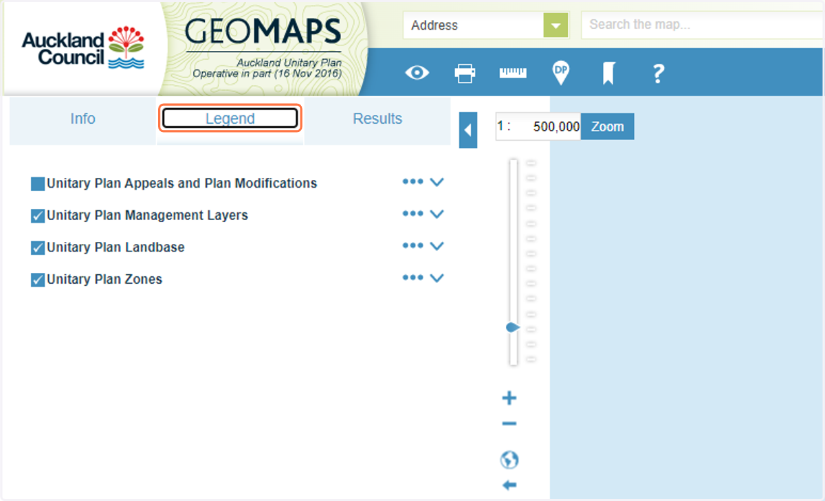
3. Make sure that 'Unitary Plan Management Layers' and 'Highly Productive Land' layers are ticked.
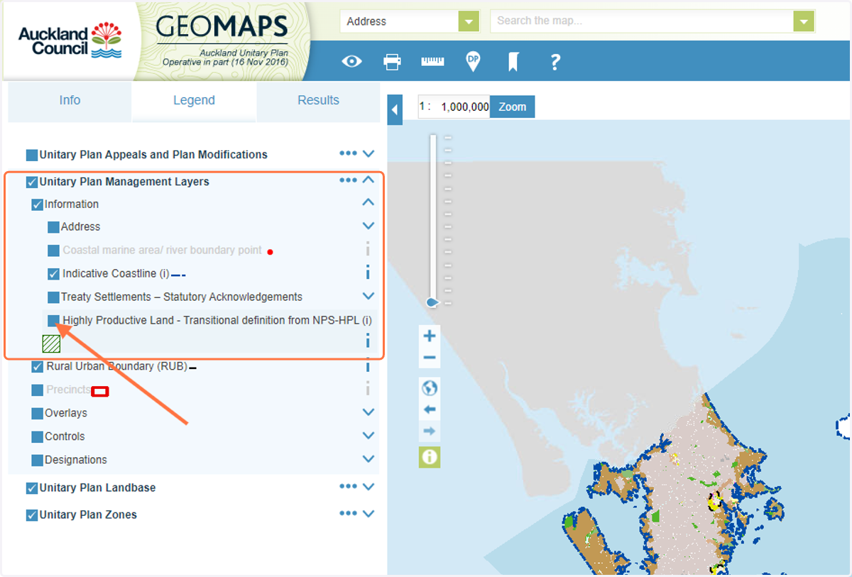
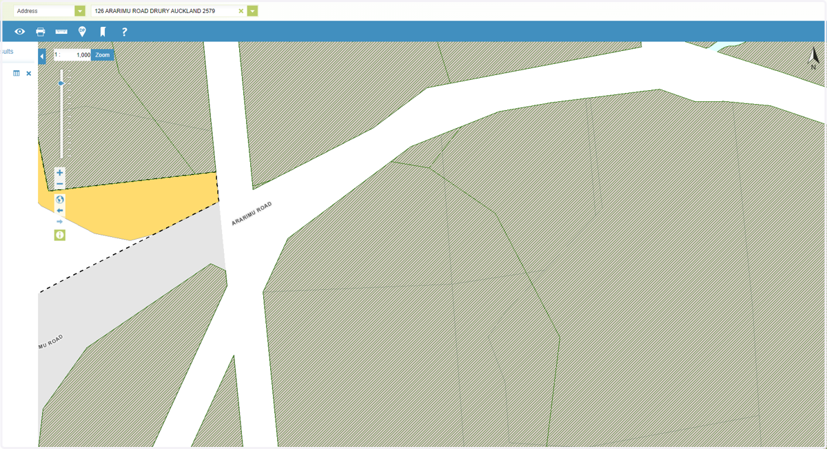
4. Once the layers are turned on, you will see that the map updates to include a green crosshatch. This is land that meets both the land-use zone and soil type requirements to fall into the definition of Highly Productive Land.
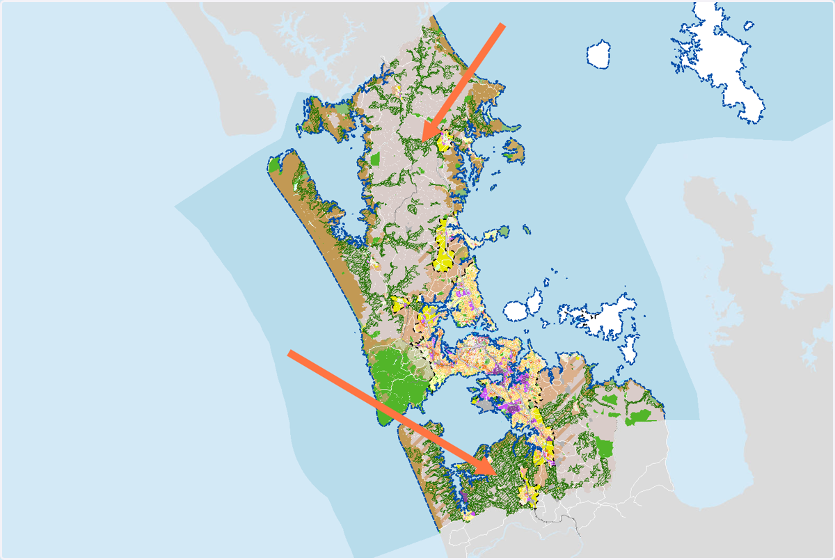
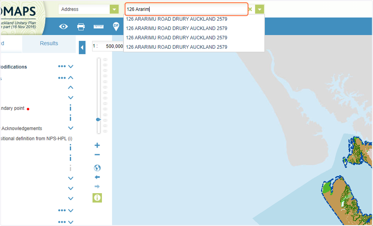
5. Next, we are going to look at an example in South Auckland. To look at an example as you follow this guide, enter an address into the search bar at the top of the page.
6. You can see that the land in this example is crosshatched green. This signifies that it's likely to be 'Highly Productive' land.
Land Use Capability » Maps » Our Environment
7. To confirm our initial findings, we'll now navigate to the Landcare Research Land Use Capability portal at https://ourenvironment.scinfo.org.nz/maps-and-tools/app/Land%20Capability/lri_luc_main
8. This will take you to the Landcare Research Land Use Capability portal.
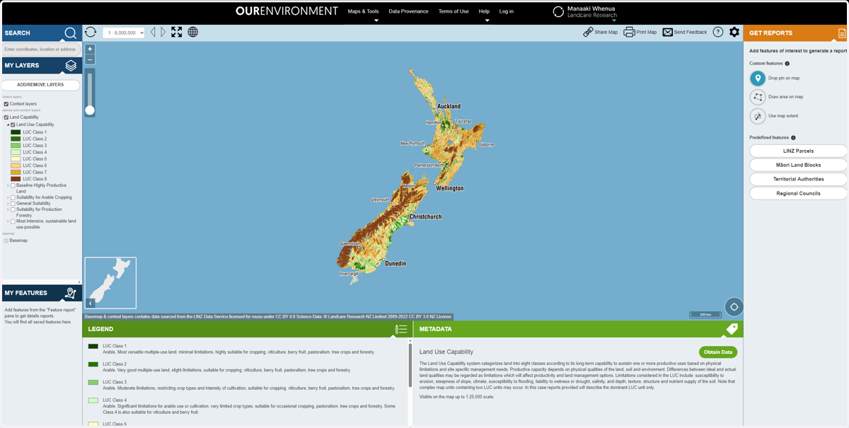
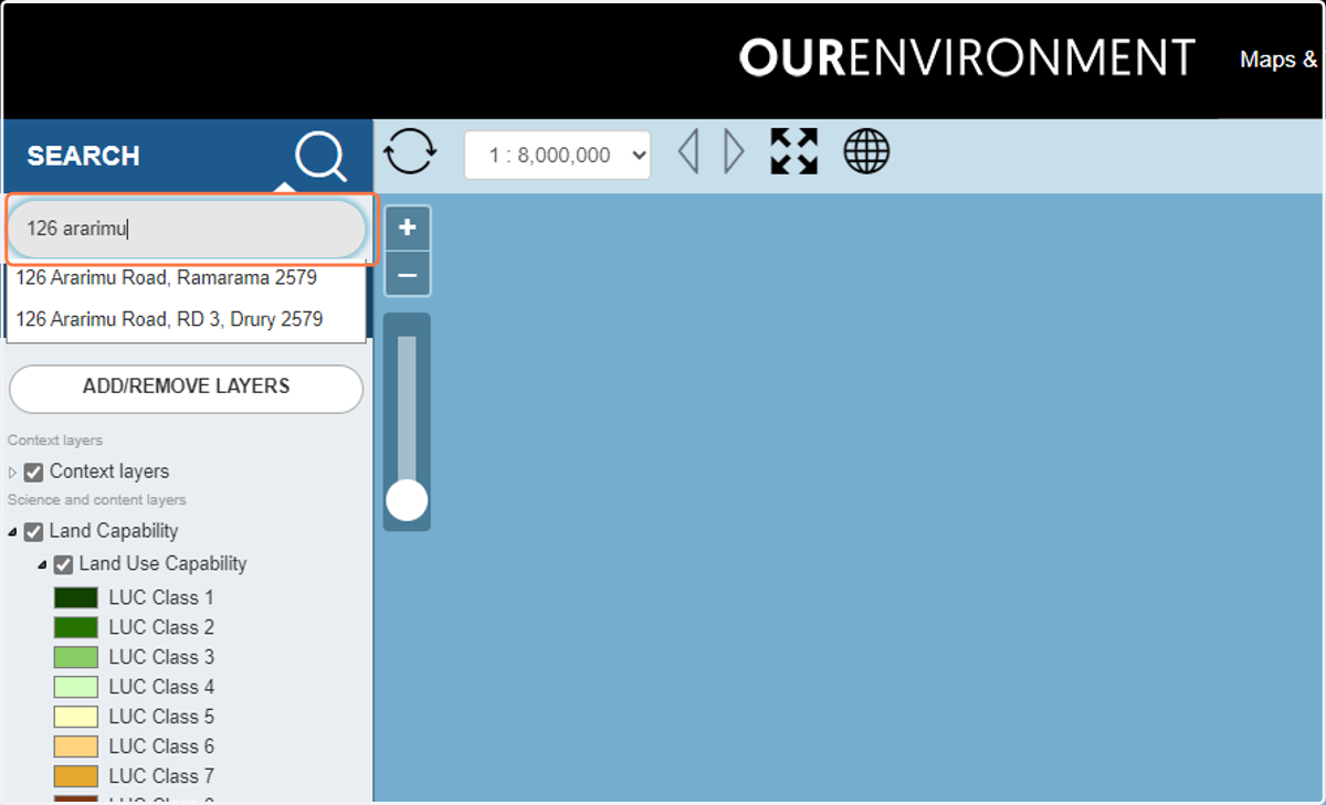
9. Search for the same property using the search bar on the left-hand side of the page.
10. The map will zoom into the site location. Note any changes or markings on the map.
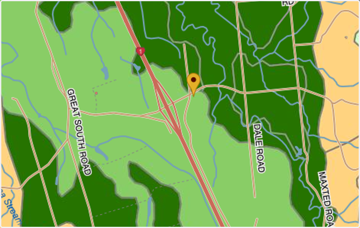
11. You can see that in this case the site is subject to Land Use Capability ('LUC') Class 3 soils. Confirming our earlier findings.
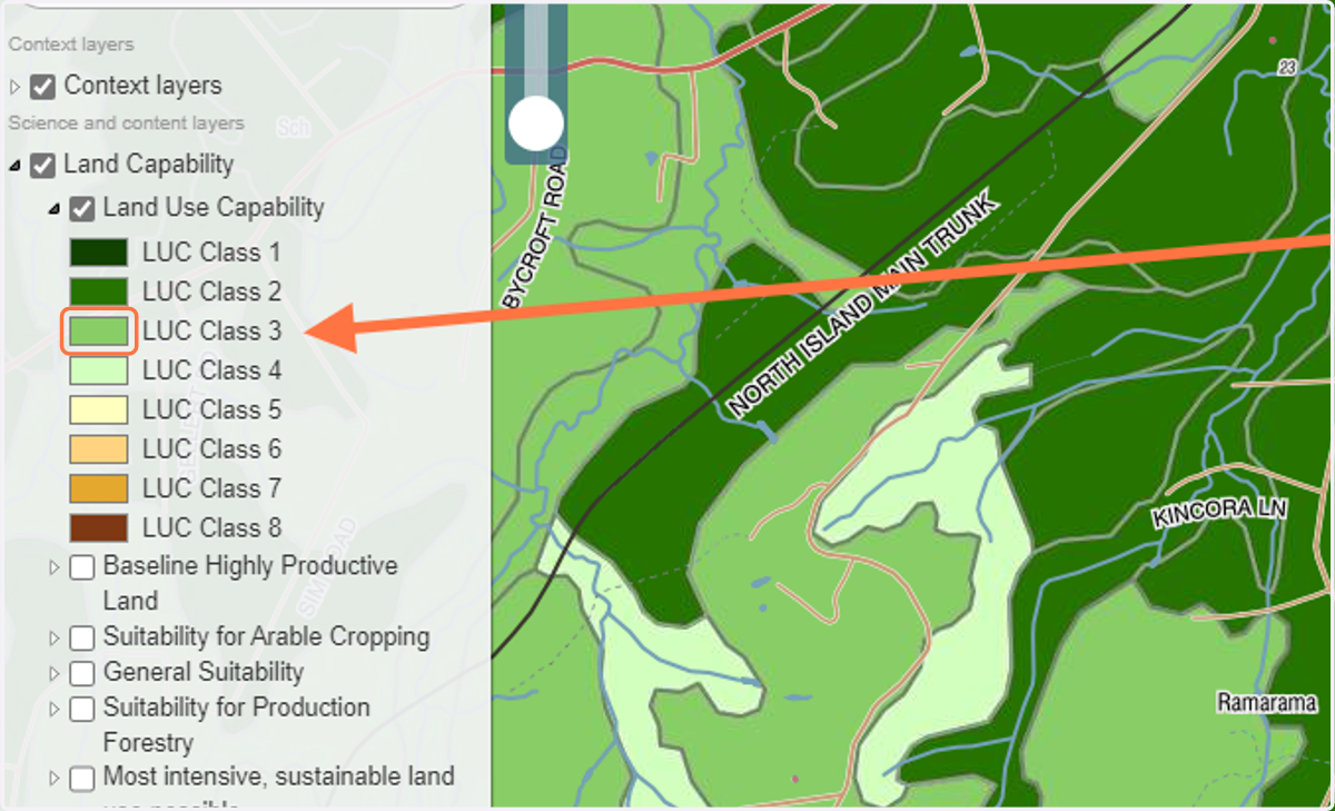
12. Remember: Land within LUC classes 1-3 are the soil types that the National Policy Statement for Highly Productive Land 2022 applies to. You can view the policy document here: https://environment.govt.nz/publications/national-policy-statement-for-highly-productive-land/
🌳 Summary
13. Important note: Despite the data from the above sources, more detailed on-site investigations may be required to confirm the type of soils present at the site and your zone, depending on where you are located.
14. CoLab Planning can provide you with a desktop overview for your property. We also have contacts in the environmental sciences field that can assist further with detailed reporting/testing. We are here to help.